Anwendung Details

Berechnung und Evaluierung von Gebäudedaten auf Basis der bestehenden Lidar‐ und Raster‐Geländedaten des Landes Salzburg+
01.11.2019 – 29.02.2020
Die Durchführung der Forschungsarbeiten umfasst die Berechnung der 3D‐Gebäudeblöcke
LOD1 (3D Polygon/Multipatch) für das Bundesland Salzburg 5m/1m, die Berechnung der
Gebäudegrundflächen (Polygone) für das Bundesland Salzburg aus den LAS Datenbeständen
(abhängig von der Bodenauflösung der Lidar‐Daten), die Berechnung von 3D
Gebäudekubaturen LOD2 (3D Polygon/Multipatch) für das Bundesland Salzburg basierend
auf den LAS Datenbeständen des Bundeslandes Salzburg (abhängig von der Bodenauflösung
der Lidar‐Daten) sowie die Durchführung einer Fehleranalyse und Fehlerabschätzung der
erstellten LOD2 Gebäudekubaturen.
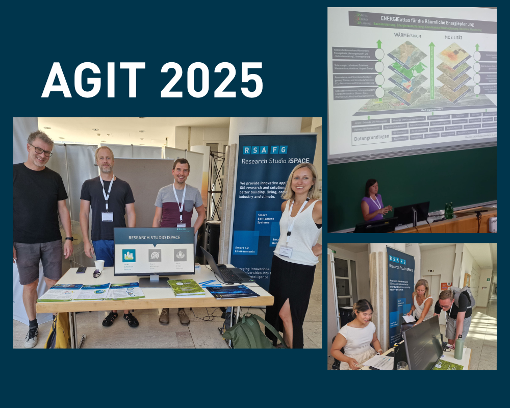
Unser Forschungsteam