Research Studio
iSPACE: Smart
Settlement Systems
Wir entwickeln mit den Forschungsschwerpunkten „Smart Energy Balances“ und „For Planning“ Indikatoren und interaktive Webtools, damit Planungsstrategien transparenter gestaltet und mit Zahlen und Karten untermauert werden.
Das Research Studio iSPACE Smart Settlement Systems verbindet in einem systemübergreifenden Ansatz neueste Technologien mit Anforderungen aus den Bereichen Raumentwicklung, Mobilität, Energie, Infrastruktur, Soziales und auch Demographie. Ziel sind gesamthafte und integrierte Lösungen, die insbesondere Aspekte der Energieeffizienz, umweltgerechten Mobilität, Flächenverbrauch und der Lebensqualität berücksichtigen. Die Ergebnisse aus den Projekten finden praktische Anwendung in der Stadt- und Regionalplanung, der Standort- und Infrastrukturplanung sowie in der strategischen Unternehmensplanung.
Die Teams arbeiten mit Forschungs- und Wirtschaftspartnern an der Entwicklung von Indikatoren und interaktiven Webtools, damit Planungsstrategien transparenter gestaltet und mit Zahlen und Karten untermauert werden. So werden Grundlagen für die Strategieentwicklung und Maßnahmenplanung zur Stärkung der regionalen Wettbewerbsfähigkeit geschaffen und nachhaltige Raumentwicklungen zur Sicherstellung der Lebensqualität ermöglicht. Themenübergreifende Trends und Herausforderungen der räumlichen Entwicklung, wie Klimawandel oder demographischer Wandel, werden dabei besonders berücksichtigt.
Durch die Anbindung an die Paris Lodron Universität Salzburg (PLUS) und weitere Forschungsinstitute und Unternehmen in diesem Fachbereich ist das Research Studio iSPACE ein bedeutender wissenschaftlicher Knotenpunkt am Standort Salzburg. Die PLUS und die RSA FG kooperieren mit dem Ziel, Innovationen im Kontext der Datenwissenschaft (Geoinformatik) schneller in unternehmerische und gesellschaftliche Anwendungen zu bringen (Stärkung Third Mission Aktivitäten).

#GIS #Energieversorgung #Mobilität #Planungsgrundlagen #Infrastruktur #Nachverdichtung
PROJEKTE

Re:Gen Travel
Regeneration, Tourismus und Lebensqualität in der EUREGIO

RABE
Das Ziel von RABE ist der Abbau von Barrieren für eine nachhaltige Raumentwicklung durch die Aufbereitung grenzübergreifender Raumplanungs- und Statistikdaten und die Förderung des grenzübergreifenden Datenaustauschs im Grenzraum Salzburg – Berchtesgadener Land – Traunstein.

Twin4Clim
In Twin4Clim werden Urbane Digitale Zwillinge und anwendungsbezogene Lösungsbausteine für eine proaktive Anpassung an den Klimawandel für Gemeinden erarbeitet. So können kommunale Entscheidungsprozesse im Bereich der baulichen Entwicklung und Nachverdichtung unter Berücksichtigung von Starkregenereignissen und grüner Infrastruktur zielorientierter in Richtung einer zukunftsfähigen Siedlungsentwicklung unterstützt werden.
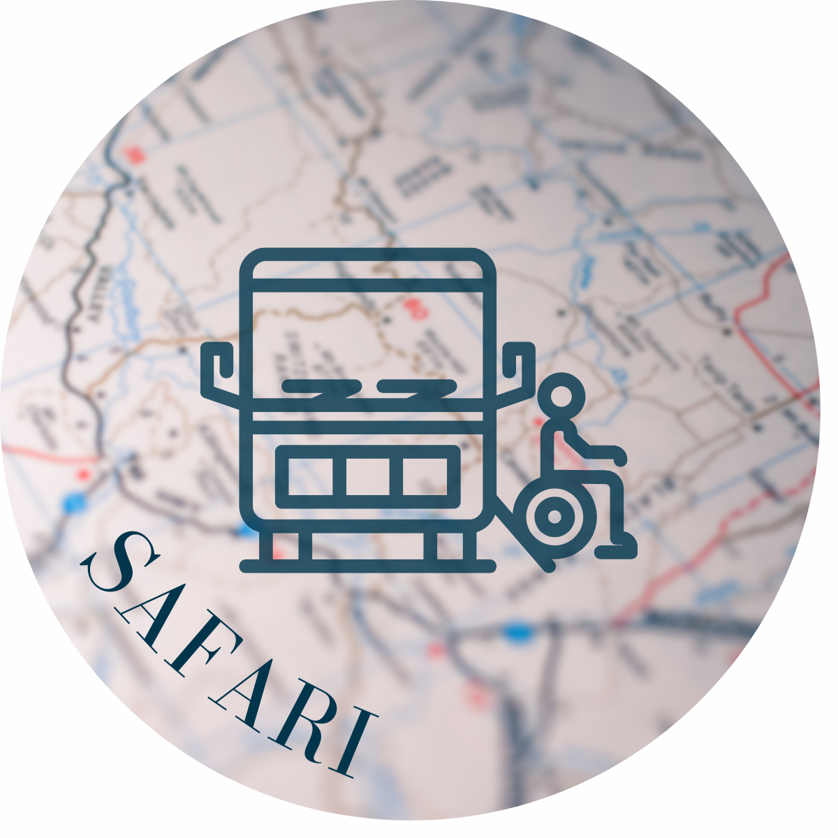
SAFARI
SAFARI macht mittels der Analyse innovativer Datenquellen - und Verschränkung dieser mit klassischen Daten - Zugangshemmnisse nachhaltiger Mobilitätsangebote insbesondere für vulnerable Personengruppen in ländlichen Regionen sichtbar und entwickelt entsprechende Lösungen für eine inklusivere Bereitstellung und Nutzung dieser Angebote.
INNOVATOUR
Bedarfsgerechte touristische Mobilitätsbedarfe durch Dateninnovationen nachhaltig lenken

LösungsWege
LösungsWege entwickelt und setzt innovative Planungswerkzeuge (basierend auf nationalen Standards) für Gemeinden und Regionen um, die es erlauben, lokale Mobilitätsmuster zu messen und ihre Verkehrs- bzw. Umweltwirkungen darzustellen.
AKTUELLES AUS DEM RESEARCH STUDIO
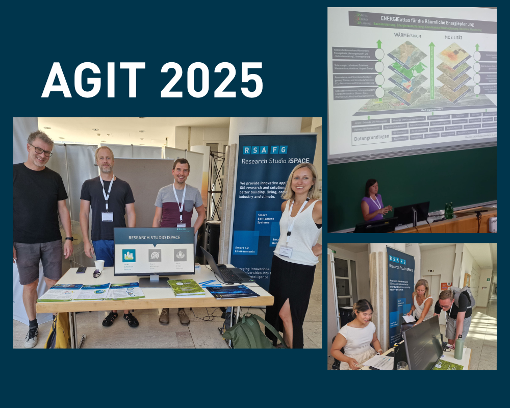
AGIT 2025 mit spannenden Beiträgen aus dem iSPACE
Zwei Tage voller Vorträge, Workshops und Austausch - das war die Konferenz für Geoinformatik an der NAWI Salzburg. Wieder stark vertreten: das Studio iSPACE.
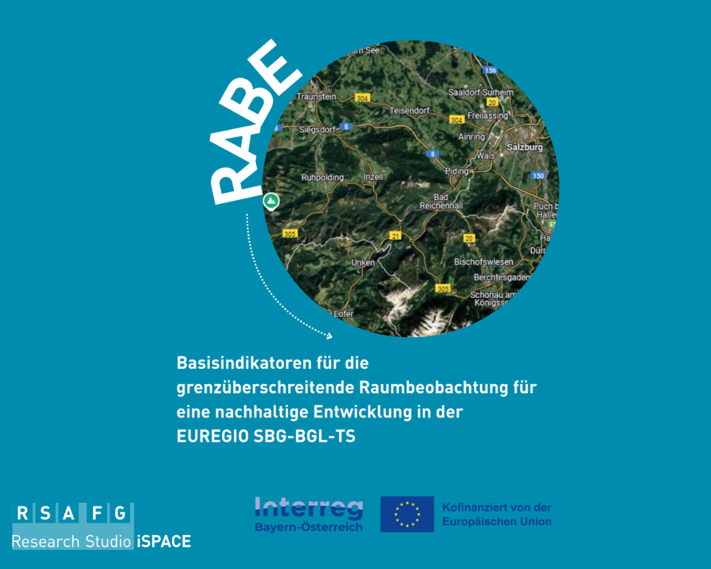
Projekt schafft Datenbasis für Raumplanung im Grenzraum
Beim Verkehr, bei der Flächennutzung oder auch beim Wohnen – die Verflechtungen im Grenzraum Salzburg – Berchtesgadener Land – Traunstein sind eng. Deswegen braucht es für eine erfolgreiche Raum-, und Siedlungsentwicklung auch abgestimmte Strategien. Die Datenbasis dafür schafft jetzt das Projekt RABE.

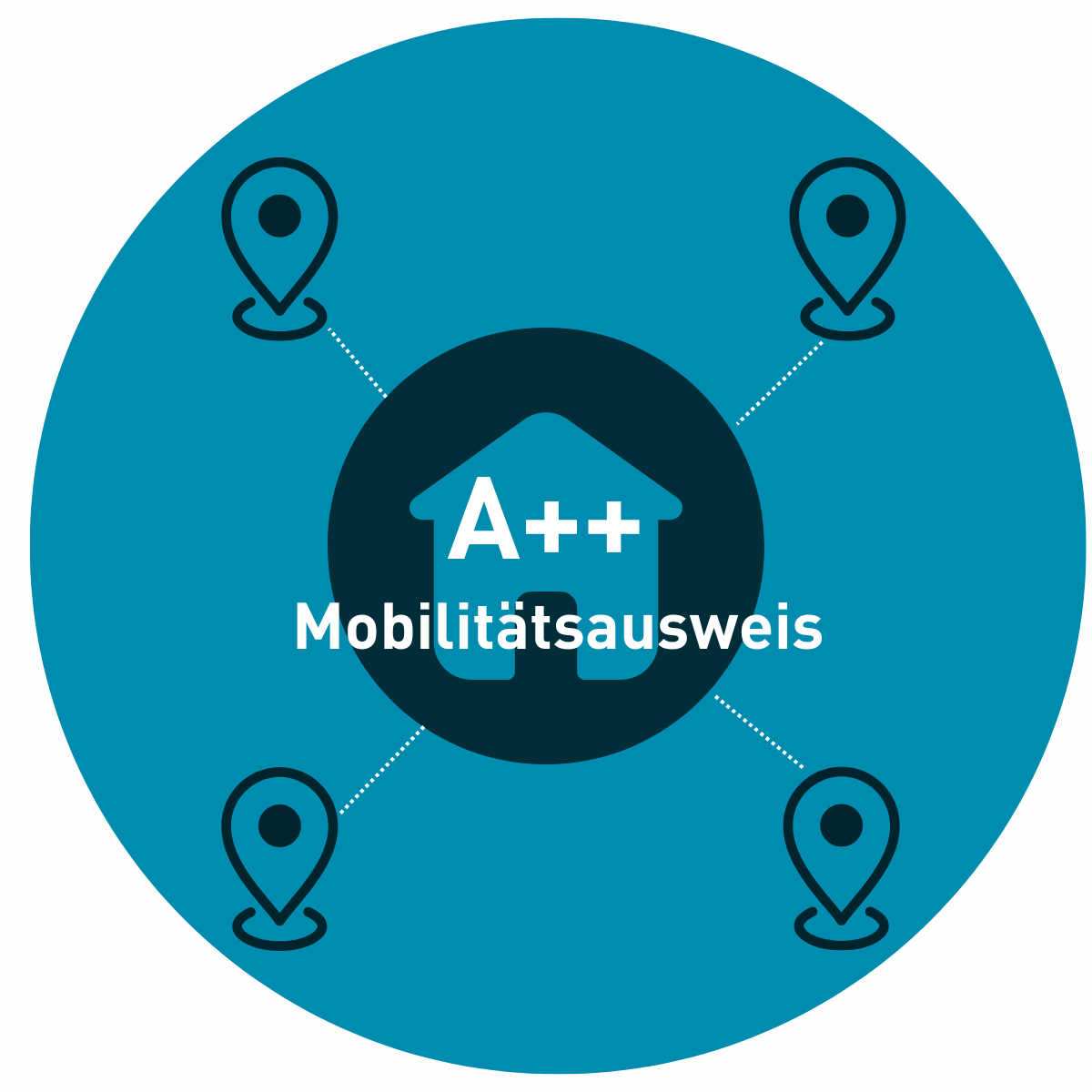
Projekt-A++ entwickelt Mobilitätsausweis für Standorte
Ein neues iSPACE-Projekt entwickelt eine Methode zur Bewertung der Mobilitätskosten und -möglichkeiten, um so die Erstellung eines Mobilitätsausweis zu ermöglichen.