Research Studio
iSPACE: Smart
Settlement Systems
Wir entwickeln mit den Forschungsschwerpunkten “Smart Energy Balances” und “For Planning” Indikatoren und interaktive Webtools, damit Planungsstrategien transparenter gestaltet und mit Zahlen und Karten untermauert werden.
Das Research Studio iSPACE Smart Settlement Systems verbindet in einem systemübergreifenden Ansatz neueste Technologien mit Anforderungen aus den Bereichen Raumentwicklung, Mobilität, Energie, Infrastruktur, Soziales und auch Demographie. Ziel sind gesamthafte und integrierte Lösungen, die insbesondere Aspekte der Energieeffizienz, umweltgerechten Mobilität, Flächenverbrauch und der Lebensqualität berücksichtigen. Die Ergebnisse aus den Projekten finden praktische Anwendung in der Stadt- und Regionalplanung, der Standort- und Infrastrukturplanung sowie in der strategischen Unternehmensplanung.
Die Teams arbeiten mit Forschungs- und Wirtschaftspartnern an der Entwicklung von Indikatoren und interaktiven Webtools, damit Planungsstrategien transparenter gestaltet und mit Zahlen und Karten untermauert werden. So werden Grundlagen für die Strategieentwicklung und Maßnahmenplanung zur Stärkung der regionalen Wettbewerbsfähigkeit geschaffen und nachhaltige Raumentwicklungen zur Sicherstellung der Lebensqualität ermöglicht. Themenübergreifende Trends und Herausforderungen der räumlichen Entwicklung, wie Klimawandel oder demographischer Wandel, werden dabei besonders berücksichtigt.
Durch die Anbindung an die Paris Lodron Universität Salzburg (PLUS) und weitere Forschungsinstitute und Unternehmen in diesem Fachbereich ist das Research Studio iSPACE ein bedeutender wissenschaftlicher Knotenpunkt am Standort Salzburg. Die PLUS und die RSA FG kooperieren mit dem Ziel, Innovationen im Kontext der Datenwissenschaft (Geoinformatik) schneller in unternehmerische und gesellschaftliche Anwendungen zu bringen (Stärkung Third Mission Aktivitäten).

#GIS #Energieversorgung #Mobilität #Planungsgrundlagen #Infrastruktur #Nachverdichtung
PROJEKTE

Re:Gen Travel
Regeneration, Tourismus und Lebensqualität in der EUREGIO


SAFARI
By analysing innovative data sources - and linking these with conventional data - SAFARI identifies barriers to access to sustainable mobility services, particularly for vulnerable groups in rural regions, and develops appropriate solutions for more inclusive provision and use of these services.
INNOVATOUR
Bedarfsgerechte touristische Mobilitätsbedarfe durch Dateninnovationen nachhaltig lenken

BONANZA – BONus Adapting to Sustainable Future Issues
Austria continues to consume too much land. For this very reason, inner development and redensification are becoming increasingly important for future housing creation.
NEWS FROM THE RESEARCH STUDIO
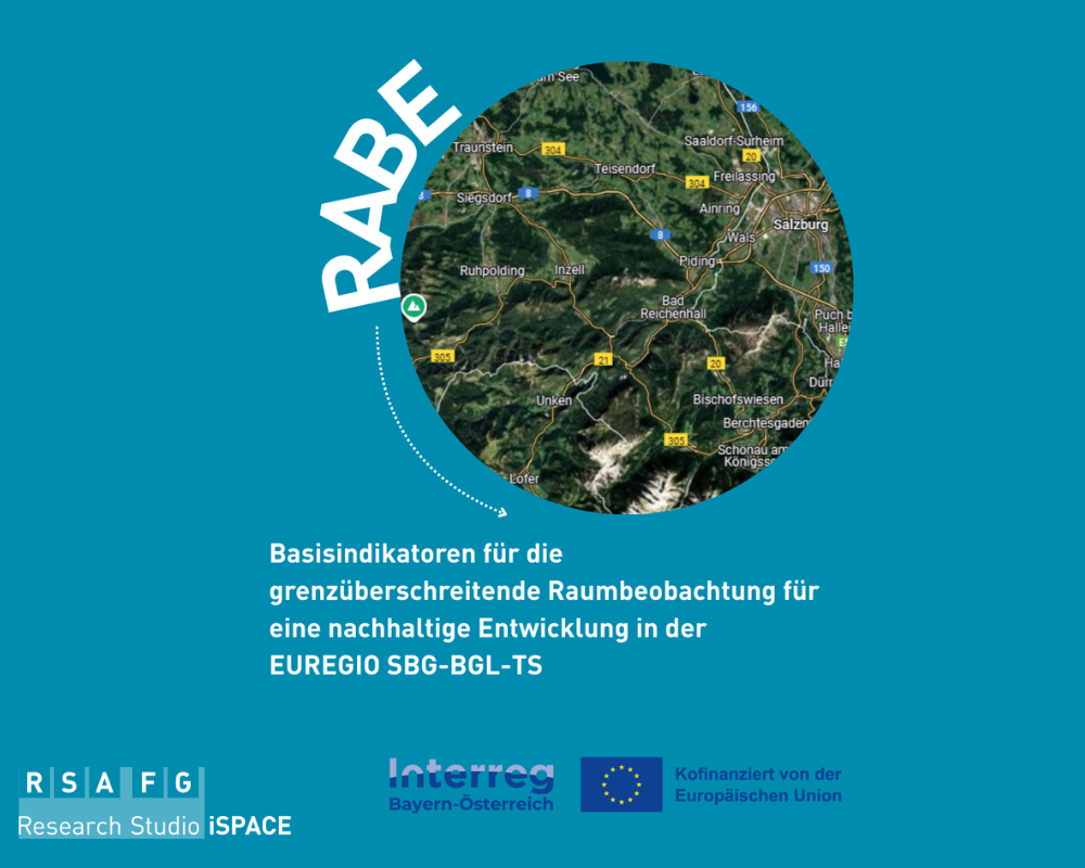
Project creates database for spatial planning in the border region
In terms of transport, land use and housing - the interdependencies in the Salzburg - Berchtesgadener Land - Traunstein border region are close. This is why coordinated strategies are needed for successful spatial and settlement development. The RABE project is now creating the data basis for this.

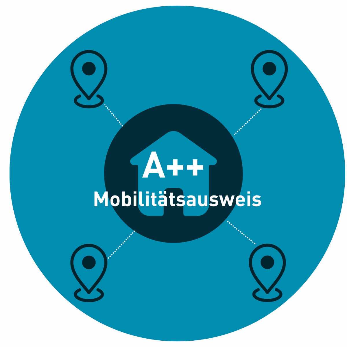
Project-A++ develops mobility assesment cards
A new iSPACE project is developing a method for assessing mobility costs and options, paving the way for the creation of a Mobility Certificate.
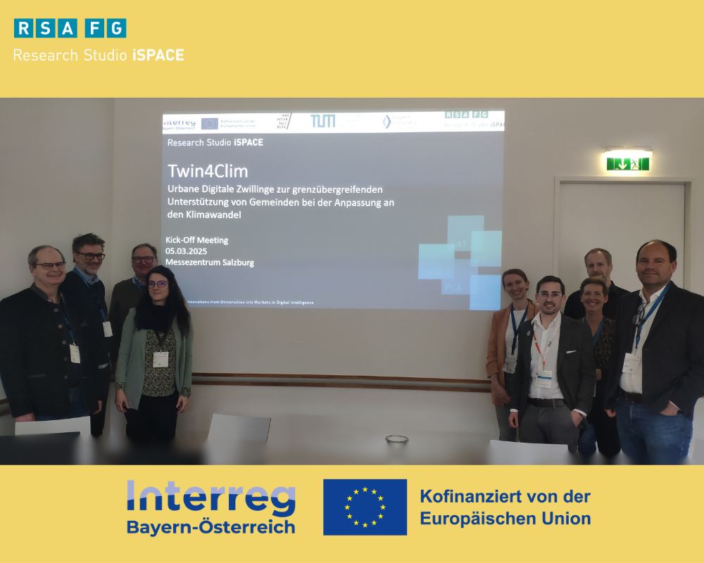
Mit digitalen Zwillingen Gemeinden bei der Klimawandel-Anpassung helfen
The Alpine region, and therefore also the border region between Salzburg and Bavaria, is particularly affected by climate change. The effects are becoming increasingly visible and noticeable due to the increase in extreme weather events such as heat and drought periods, heavy rainfall, hailstorms, forest fires and storms. It is therefore all the more important to proactively take appropriate measures to adapt to climate change and thus reduce the negative effects.