Projects
Our applied research
Projects of RSA FG
- All
- DATA SCIENCE
- DATA SCIENCE
- DATA SCIENCE Prototyp
- Demonstrator PCA
- iSPACE - SMART SETTLEMENT SYSTEMS
- iSPACE - SMART SETTLEMENT SYSTEMS Demonstrator
- iSPACE - SMART SETTLEMENT SYSTEMS Prototyp
- iSPACE 4D ENVIRONMENT
- MOBILE KNOWLEDGE LAB
- MOBILE KNOWLEDGE LAB
- MOBILE KNOWLEDGE LAB
- MOBILE KNOWLEDGE LAB
- PERVASIVE COMPUTING APPLICATIONS
- PERVASIVE COMPUTING APPLICATIONS
- PERVASIVE COMPUTING APPLICATIONS
- SMART APPLICATIONS TECHNOLOGIES
- SMART APPLICATIONS TECHNOLOGIES
- SMART DIGITAL INDUSTRIES AND SERVICES
- SMART SETTLEMENT SYSTEMS
- SMART SETTLEMENT SYSTEMS

RSA FG2020-08-24T12:11:21+02:00

SPAR Location Analysis App 2.0
Key project requirements for the SPAR App are flexible expandability of the components and integration of freely available software components.
RSA FG2020-07-28T13:49:25+02:00
Spatial Information Infrastructure
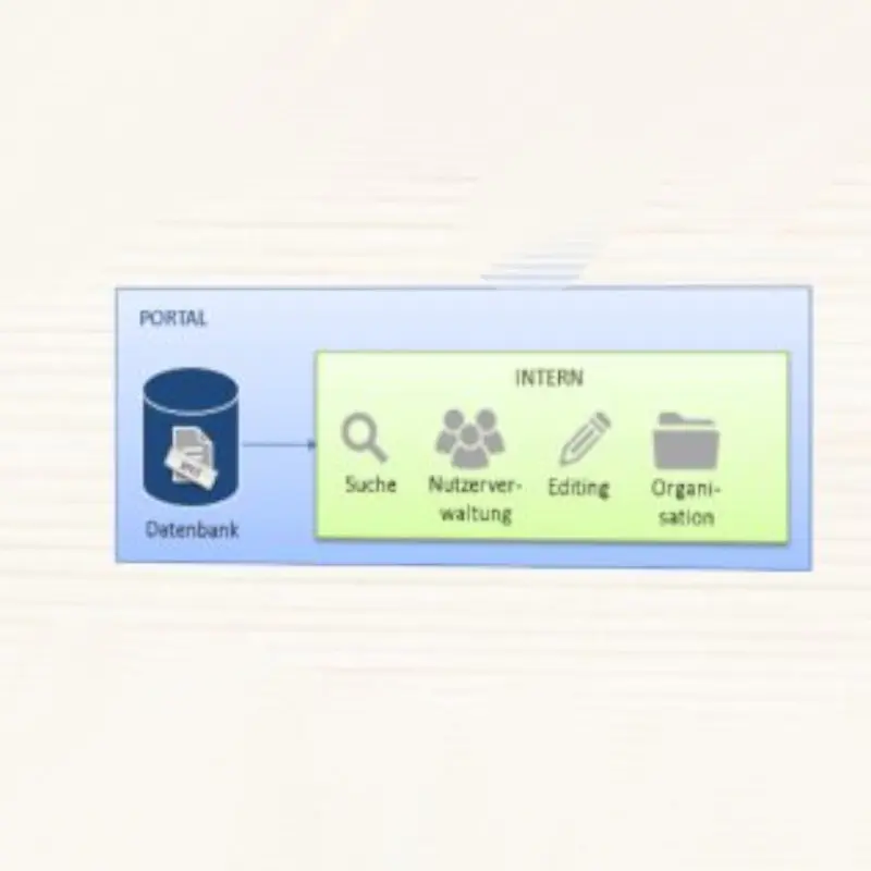
Spatinal Information Infrastructure - Current organization of metadata in the as state of play analysis and then evaluated with the system solution.

RSA FG2020-08-24T13:12:35+02:00

WBL NV Potenziale Hallein
Residential land and redensification potentials in Hallein are development of GIS analysis models in coordination with the construction department / supervisory authorities.