Mag. Wolfgang Spitzer
Researcher
Studies of geography and geoinformatics (master thesis: urban sprawl – quantification of a multidimensional concept), since July 2005 staff member of iSPACEforPlanning, main focus: Cartography, Spatial Analysis, Regional Statistics, Spatial Indicators on Settlement Structure and Redensification.

What I am working on

Post-compaction monitor II
The summarization monitor is a further development of the GIS valuation procedures based on the preliminary project.

UGB (Urban Green Belts)
Urban Green Belts are able to filter pollutants from the air, reduce heat island effects or increase property values.

Centre of Alpine Building
The Alpine Building - Research and Transfer Centre acts as a know-how carrier for resource-saving and sustainable building.
Prototypes & Demonstrators

Potential identification
Locate & quantify existing residential land reserves with specific suitability for nonprofit housing Identify potential use overlays for residential development.
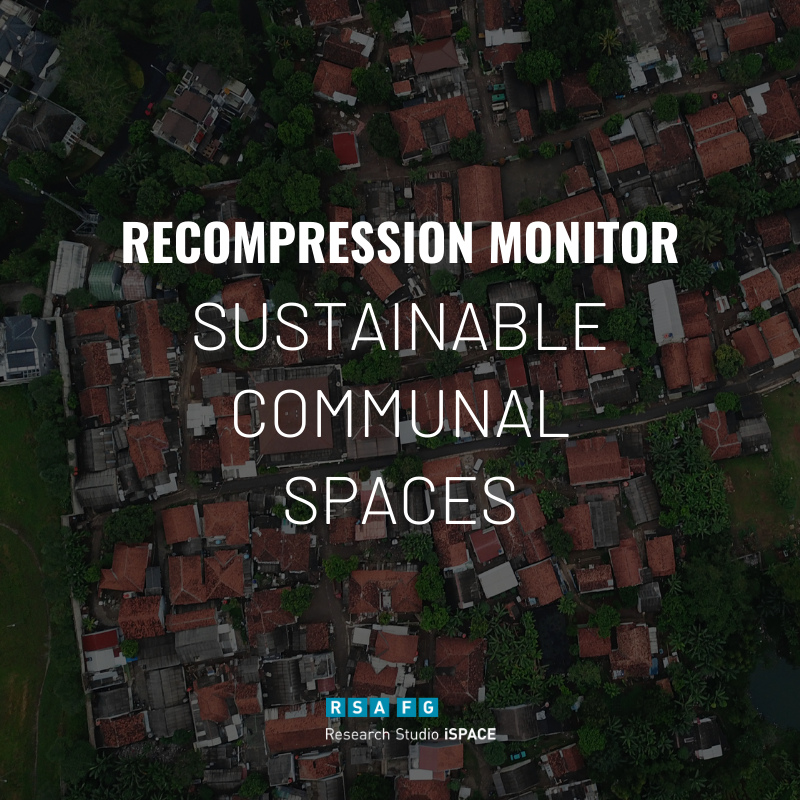
Recompression Monitor
This Demonstrator helps the Measurement of building development in the areas of redensification, building land reserves and restructuring areas.