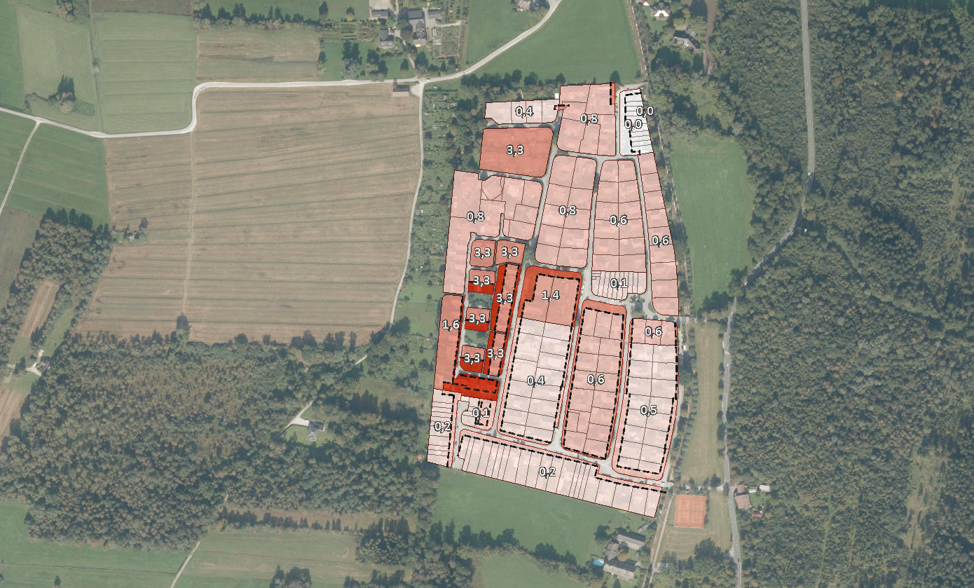
For several years, the city of Salzburg has consistently pursued a strategy of settlement development based on internal and subsequent densification in order to meet future housing needs. This is exactly where the project “Nachverdichtungsmonitor” from the studio iSPACE – Smart Settlement Systems started: in order to monitor the success of the goals and measures set, a standardized, transparent GIS evaluation tool was created in the form of the “Nachverdichtungsmonitor” which compares the development of the building stock with the maximum building densities according to the development plan. This post-densification monitoring has so far been implemented in a (roughly) 5-year cycle (2005 – 2014 – 2019).

Based on the successful course of the “Nachverdichtungsmonitors” project, a GIS methodology is being developed to build on and supplement this in the follow-up project “Aufzonierungsgebiete”, which identifies areas with a high potential for increasing building density (zoning up). The theoretical building potential of plots of land is evaluated on the basis of their geometry, the legal distance regulations and the building lines. For the current new preparation of the spatial development concept, this is an objectified basis for defining possible priority areas for future urban development in which rezoning can be a relevant urban planning element.

