Research Studio
iSPACE Smart 4D Environments
The Research Studio is dedicated to the development of models,
concepts and the implementation of smart 4D spatial data infrastructure.
The Research Studio is dedicated to the development of models, concepts and the implementation of smart 4D spatial data infrastructure.
The Research Studio iSPACE – Smart 4D Environments in Salzburg is headed by Dr. Manfred Mittlböck and is one of six Research Studios of the RSA FG.
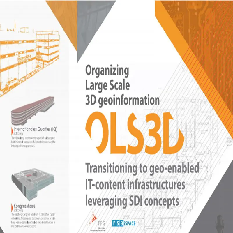
iSPACE – Smart 4D Environments is dedicated to the development of models, concepts, adaptive workflows and implementation strategies for building and implementing smart 4D spatial data infrastructures (4D-GDIs). 4D-GDIs aim at spatiotemporally high-resolution resilient (industrial) plant GDIs and their digital data streams.
In the field of geoinformatics, the research studio deals with the topics of spatial data infrastructures and near-real-time sensor data integration. This is done with a focus on improving situational awareness in the application areas of environmental management, Industry 4.0, Internet of Things, security management and risk assessment.
What if worlds were linked? | Research Studio iSPACE Smart 4D Environments
Geo-Data Infrastructure
Spatial data infrastructures (GDIs) comprise content-related and organizational measures for the technically standardized and semantically harmonized utilization of spatiotemporal data and information resources.
iSPACE works with research and business partners to develop concepts and solutions for the resilient organizational and technically sustainable integration, provision, evaluation and communication of geoinformation.
Spatially and temporally high-resolution 4D GDIs are considered a key strategy to support the areas of indoor positioning, smart monitoring, virtual/augmented reality, and contextualization with geo-semantically enhanced big geo-data linking.
Geo-Sensorthings IoT
iSPACE is researching semantically and technically tuned integration, ad-hoc analysis, and communication/visualization of large data sets of ‘located’ sensor measurements. These data streams are an essential building block for further analyzing production and value chains.
Essential for the broad and efficient use of sensor data streams is the simple, preferably barrier-free access in a harmonized/standardized form for industry, economy and administration.
Another of iSPACE’s strengths is the design and validation of transparently consistent positioning strategies for mobile sensor measurements in both indoor and outdoor environments. This enables the context-specific provision of sensor data in near real-time in live mapping dashboards for decision-making, monitoring/control, visualization and simulation as a bridge between the real world and its virtual images.
The Research Studio iSPACE – Smart 4D Environments in Salzburg is headed by Dr. Manfred Mittlböck and is one of six Research Studios of the RSA FG.
iSPACE – Smart 4D Environments is dedicated to the development of models, concepts, adaptive workflows and implementation strategies for building and implementing smart 4D spatial data infrastructures (4D-GDIs). 4D-GDIs aim at spatiotemporally high-resolution resilient (industrial) plant GDIs and their digital data streams.
In the field of geoinformatics, the research studio deals with the topics of spatial data infrastructures and near-real-time sensor data integration. This is done with a focus on improving situational awareness in the application areas of environmental management, Industry 4.0, Internet of Things, security management and risk assessment.
What if worlds were linked? | Research Studio iSPACE Smart 4D Environments
Geo-Data Infrastructure
Spatial data infrastructures (GDIs) comprise content-related and organizational measures for the technically standardized and semantically harmonized utilization of spatiotemporal data and information resources.
iSPACE works with research and business partners to develop concepts and solutions for the resilient organizational and technically sustainable integration, provision, evaluation and communication of geoinformation.
Spatially and temporally high-resolution 4D GDIs are considered a key strategy to support the areas of indoor positioning, smart monitoring, virtual/augmented reality, and contextualization with geo-semantically enhanced big geo-data linking.
Geo-Sensorthings IoT
iSPACE is researching semantically and technically tuned integration, ad-hoc analysis, and communication/visualization of large data sets of ‘located’ sensor measurements. These data streams are an essential building block for further analyzing production and value chains.
Essential for the broad and efficient use of sensor data streams is the simple, preferably barrier-free access in a harmonized/standardized form for industry, economy and administration.
Another of iSPACE’s strengths is the design and validation of transparently consistent positioning strategies for mobile sensor measurements in both indoor and outdoor environments. This enables the context-specific provision of sensor data in near real-time in live mapping dashboards for decision-making, monitoring/control, visualization and simulation as a bridge between the real world and its virtual images.
APPLICATION AREAS AND BENEFITS


NEWS FROM THE STUDIO
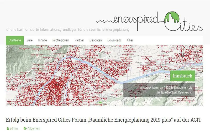
iSPACE for legal informatics
First results from the Enerspired Cities FFG project at IRIS 2019 (International Legal Informatics Symposium IRIS 2019, Salzburg).
iSPACE ist Kooperationspartner!
Das iSPACE Studio hat gemeinsam mit dem Forschungsinstitut Smart Building und Smart City der Fachhochschule Salzburg ein neuartiges Forschungs- und Transferzentrum "Alpines Bauen" gegründet.

Showcase project for Land Salzburg
The "SaMBA" project, in which the Research Studio iSPACE is a scientific project partner, is a showcase project of the EU funded Alpine Space Programme.