Research Studio
iSPACE Smart 4D Environments
The Research Studio is dedicated to the development of models,
concepts and the implementation of smart 4D spatial data infrastructure.
The Research Studio is dedicated to the development of models, concepts and the implementation of smart 4D spatial data infrastructure.
The Research Studio iSPACE – Smart 4D Environments in Salzburg is headed by Dr. Manfred Mittlböck and is one of six Research Studios of the RSA FG.
iSPACE – Smart 4D Environments is dedicated to the development of models, concepts, adaptive workflows and implementation strategies for building and implementing smart 4D spatial data infrastructures (4D-GDIs). 4D-GDIs aim at spatiotemporally high-resolution resilient (industrial) plant GDIs and their digital data streams.
In the field of geoinformatics, the research studio deals with the topics of spatial data infrastructures and near-real-time sensor data integration. This is done with a focus on improving situational awareness in the application areas of environmental management, Industry 4.0, Internet of Things, security management and risk assessment.
What if worlds were linked? | Research Studio iSPACE Smart 4D Environments
Geo-Data Infrastructure
Spatial data infrastructures (GDIs) comprise content-related and organizational measures for the technically standardized and semantically harmonized utilization of spatiotemporal data and information resources.
iSPACE works with research and business partners to develop concepts and solutions for the resilient organizational and technically sustainable integration, provision, evaluation and communication of geoinformation.
Spatially and temporally high-resolution 4D GDIs are considered a key strategy to support the areas of indoor positioning, smart monitoring, virtual/augmented reality, and contextualization with geo-semantically enhanced big geo-data linking.
Geo-Sensorthings IoT
iSPACE is researching semantically and technically tuned integration, ad-hoc analysis, and communication/visualization of large data sets of ‘located’ sensor measurements. These data streams are an essential building block for further analyzing production and value chains.
Essential for the broad and efficient use of sensor data streams is the simple, preferably barrier-free access in a harmonized/standardized form for industry, economy and administration.
Another of iSPACE’s strengths is the design and validation of transparently consistent positioning strategies for mobile sensor measurements in both indoor and outdoor environments. This enables the context-specific provision of sensor data in near real-time in live mapping dashboards for decision-making, monitoring/control, visualization and simulation as a bridge between the real world and its virtual images.
APPLICATION AREAS AND BENEFITS

5G MOBiS
5G-MOBiS (5G Mobility Innovations Salzburg) is a research project that investigates how 5G data can be used for traffic control and spatial and mobility planning.
Profil AT 3.0 III
Application Details Our Competence: IoT – Assistive Geoinformatics Studio: iSPACE SMART 4D ENVIRONMENTS Client: Profil AT 3.0 III 01.07.2020 [...]

5G-EXPS
Application Details Date: 01.07.2020 – 30.06.2023 Our Competence: IoT – Assistive Geoinformatics Studio: iSPACE 4D ENVIRONMENTS Client: The project [...]
NEWS FROM THE STUDIO
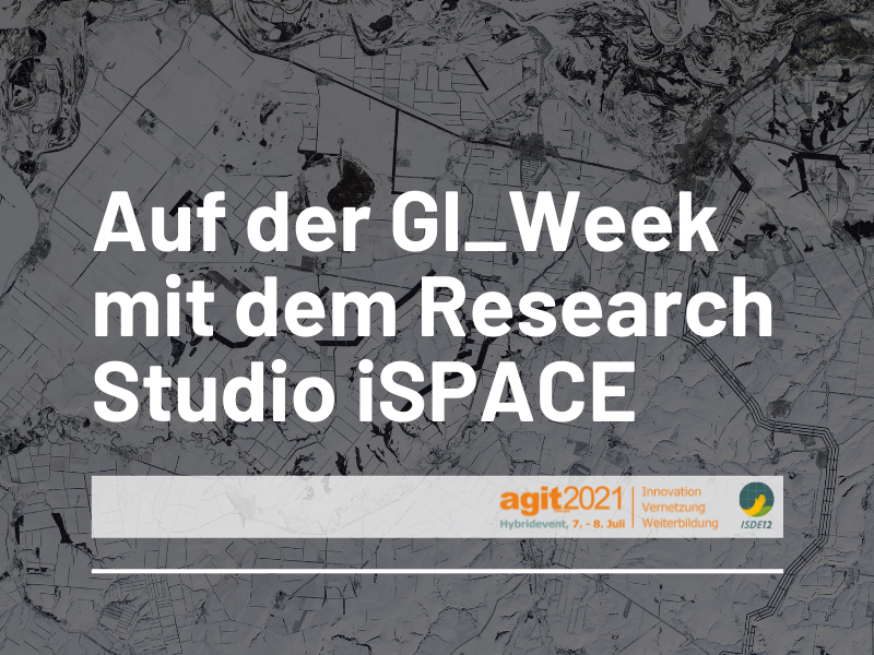
Attending GI_Week with the Research Studio iSPACE of the RSA FG
In the first week of July, everything in Salzburg revolves around geoinformatics. The Research Studio iSPACE of the RSA FG will present interesting lectures at the conferences AGIT and ISDE.
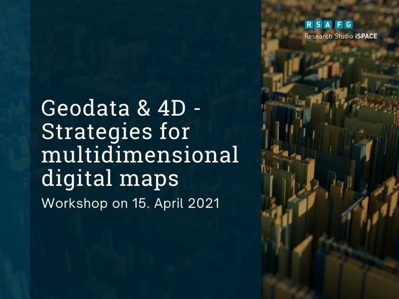
Workshop on April 15, 2021: Geodata & 4D – Strategies for Multidimensional Digital Maps
The Research Studio iSPACE together with SynerGIS presents concepts for the preparation and visualization of digital 3D maps.
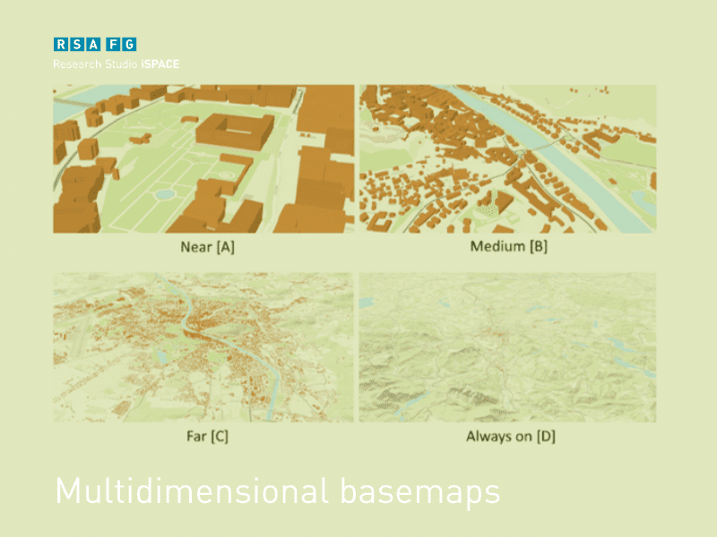
Design strategies for multidimensional basemaps of urban environments
The goal is to extract generalized design and communication strategies for 3D base maps from the survey results.