Get the latest info on…
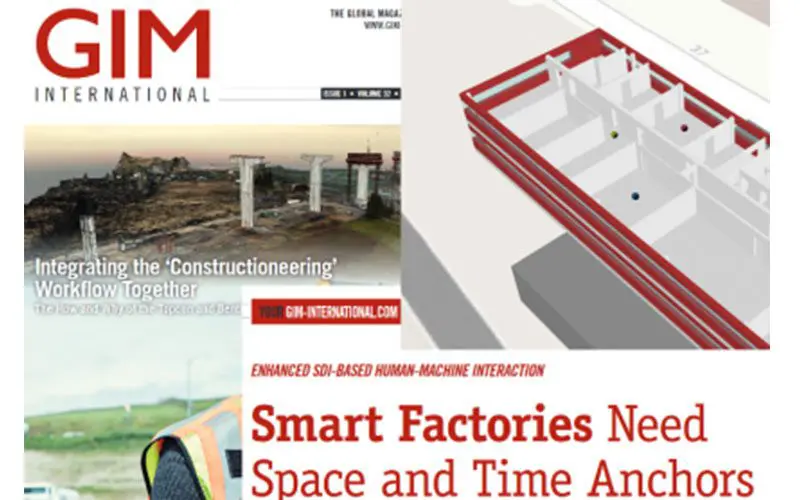
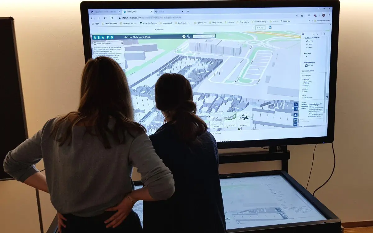
RSA iSPACE at GIM International
The current issue of GIM international (1/2018) published an article about current research activities in iSPACE Smart 4D Environments on February 1, 2018.
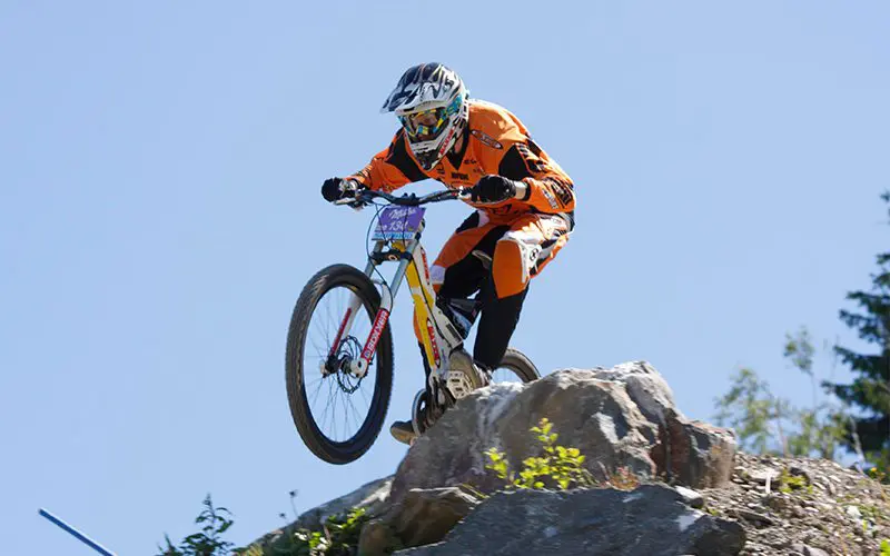
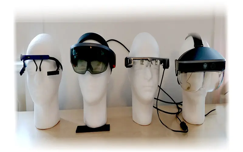
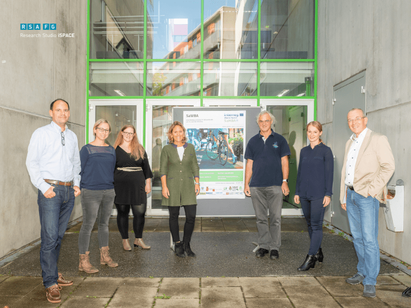
Attention analysis in competitive sports
In cooperation with the Austrian Cycling Federation, a one-year project started, in which Studio PCA supports ÖRV.
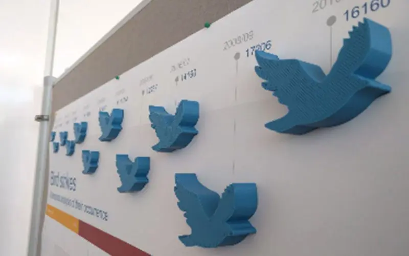
Congratulations to Caroline Atzl
Caroline Atzl achieved second place with her poster "Bird strikes: A temporal analysis of their occurrence" at this year's AGIT poster session.
Congratulations to Anna Butzhammer
At the AGIT| GI_Forum 2017 - Symposium and Expo for Applied Geoinformatics in Salzburg - iSPACE employee Anna Butzhammer wins the award for the best student paper.
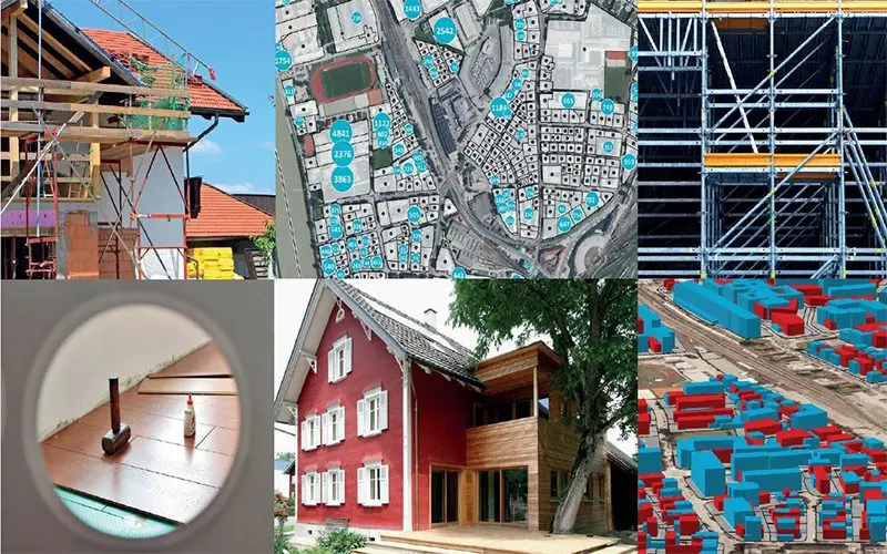
Project launch of Bonsei!
Bonsei! The project deals with land consumption and population pressure, in urban areas there is a need to develop.
GISMO-Project
In the GISMO project, physicians, geoinformaticians and mobility researchers accompany employees of the Salzburg provincial hospitals for one year when they change to an active way of working.
Laura Knoth wins AGEO Awards
Laura Knoth wurde für ihre Masterarbeit mit dem Titel "Spatial Information Infrastructures for Indoor Environments" der 1. Platzes des diesjährigen AGEO Awards verliehen.
Linking Virtual and Real Worlds
Das Video zeigt neue Forschungsansätze und erste Ergebnisse aus dem Studio iSPACE für den Kontext virtual-real-world-linking.
GIS Day
iSPACE again presented innovative project results to school classes at the international GIS Day in November 2016 in Salzburg and Linz.
Austria disappears
Die Fachtagung "Österreich verschwindet. Zukunft Raum/Raummanagement", die am 18. April in Salzburg stattfand, war ein voller Erfolg.
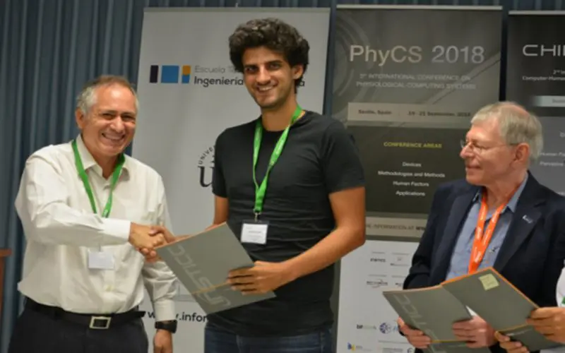
“Best Paper Award” in Rome
Benedikt Gollan wurde in Rom mit dem Best Paper Award für seine Arbeit "SEEV-Effort - Is it Enough to Model Human Attentional Behavior in Public Display Settings" ausgezeichnet.
ESRI EDC „Student-of-the-Year” – Laura Knoth
Laura Knoth wurde für ihre Masterarbeit mit dem Titel „Spatial Information Infrastructures for Indoor Environments“ mit dem EDC „Student-of-the-Year“ Award ausgezeichnet.
Smart City Mobility Workshop „SaMBA“
In cooperation with the research studio iSPACE, the municipality of Salzburg organized a mobility workshop to develop a sustainable and long-term service offer in the field of mobility consulting and information.
DoSSIER will address the different information needs of professional users
The Research Studio Data Science develops a new information access system to properly address what is missing in a professional user’s knowledge base and consequently present him/her with suitable and valuable information.
IMMERSE XR – New plugin of RSA FG enables stereoscopic display
With IMMERSE XR, the Research Studio Pervasive Computing Applications of the RSA FG enables the reproduction of images with a spatial sensation of depth, which is physically not present - a so-called stereoscopic representation.
Fachsymposium “Brennpunkt Alpines Bauen”
At the Salzburg University the cross-border symposium "Brennpunkt Alpines Bauen" will take place for the 5th time on 27 September 2018.
Award for PCA Team
Four RSA researchers were awarded the Best Paper Award in Seville, Spain for the publication: "Making Sense: Experiences with Multi-Sensor Fusion in Industrial Assistance Systems".
Laura Knoth wins prize for best short presentation
Laura Knoth represented the studio iSPACE and presented the topic "4D Data Infrastructures facilitating Smart City Enablement".
THE4BEES – Over? Or new beginning?
The Interreg Alpine Space project "THE4BEES" (Transnational Holistic Ecosystem 4 Better Energy Efficiency through Social innovation) is now slowly coming to an end.
Showcase project for Land Salzburg
The "SaMBA" project, in which the Research Studio iSPACE is a scientific project partner, is a showcase project of the EU funded Alpine Space Programme.
Better analysis of structural and solar potentials with GIS
The Research Studio Smart Settlement Systems, gave a lecture on the topic "Analysis of structural solar potentials with GIS".


